SityTrail Hiking Trail GPS: Your Perfect Companion for Adventurous Trails
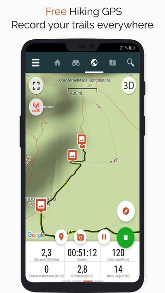
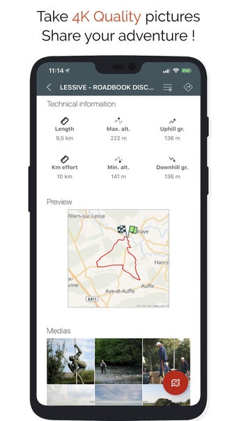
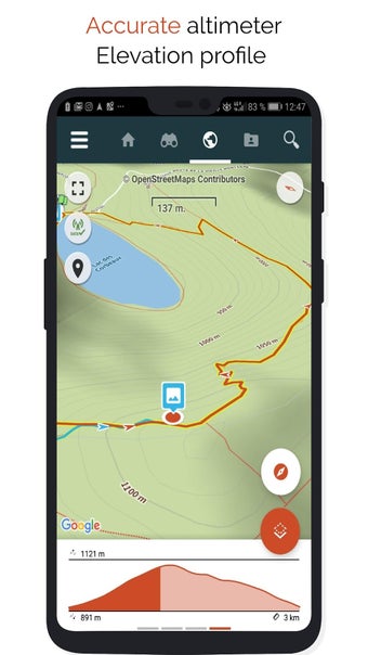
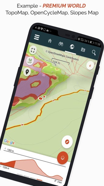
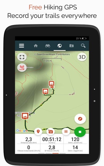
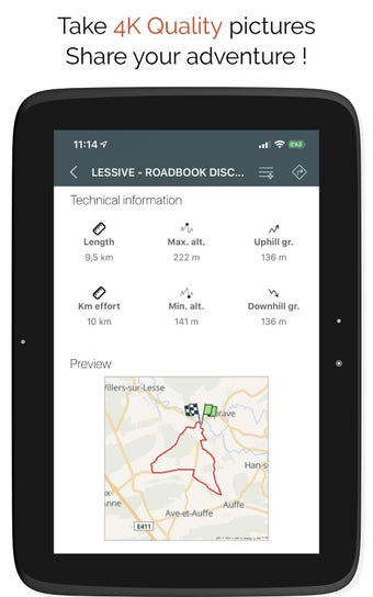
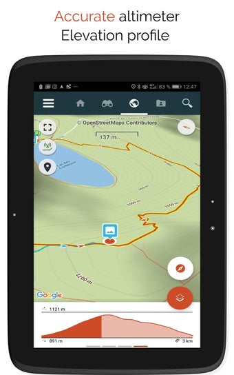
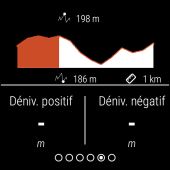
SityTrail Hiking Trail GPS is a free Android application developed by Geolives Belgium S.P.R.L. that lets you record your trails while taking HD and geo-tagged pictures of your adventures. With accurate altimeter, height differences computing, and elevation profile displaying your current location, this app is the perfect companion for hiking enthusiasts.
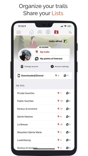
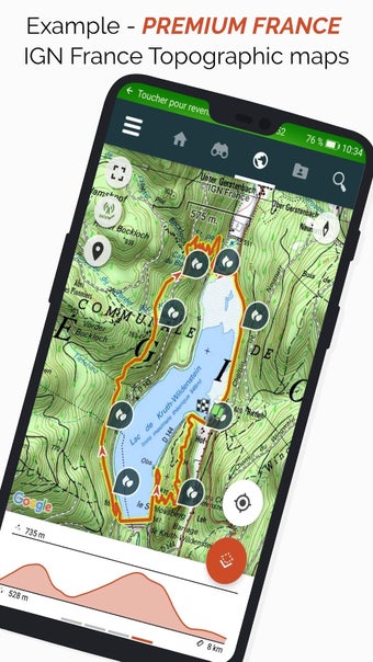
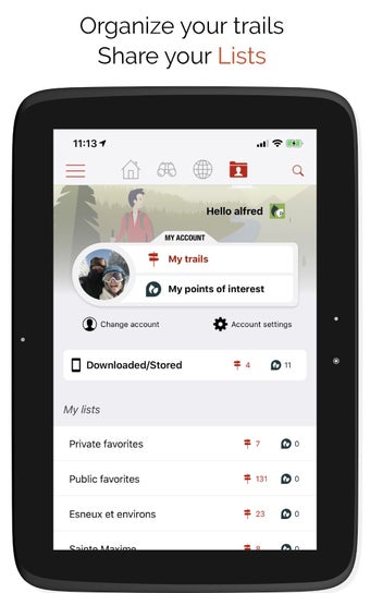
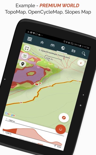
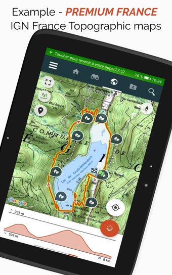
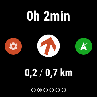
The app offers advanced tracking and guiding features with calculation of the remaining distance and time and vocal instructions at intersections. You can also discover GR hiking paths, European hiking routes, Santiago de Compostela routes for pilgrims, and more as a premium user. The app allows you to sort and classify your trails and points of interest in your own lists. You can create your own hiker communities and manage your members and newsfeeds.
SityTrail Hiking Trail GPS also lets you create trails with advanced features for trail editing via the website and print trails in PDF format with QR codes. Furthermore, you can access geotagged Wikipedia articles from the SityTrip module. The app also allows you to record a trail on your Wear OS watch in standalone mode or in paired mode.
Important Information: Some features need an internet connection. The prolonged use of GPS can reduce battery levels.